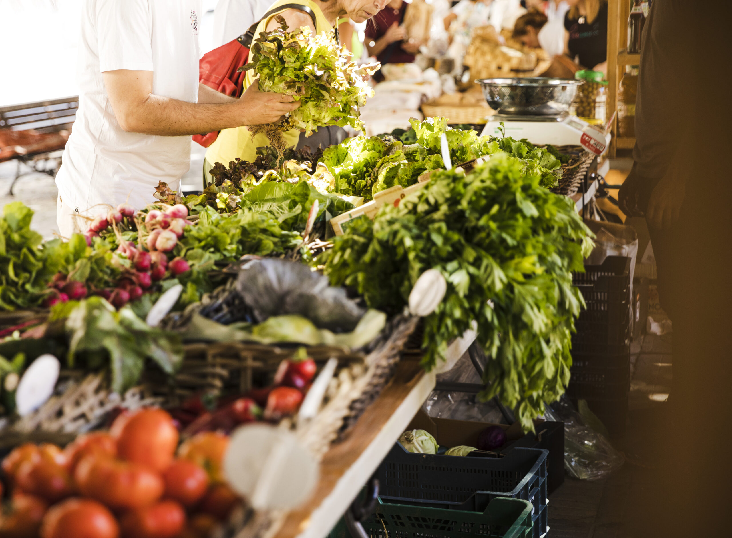
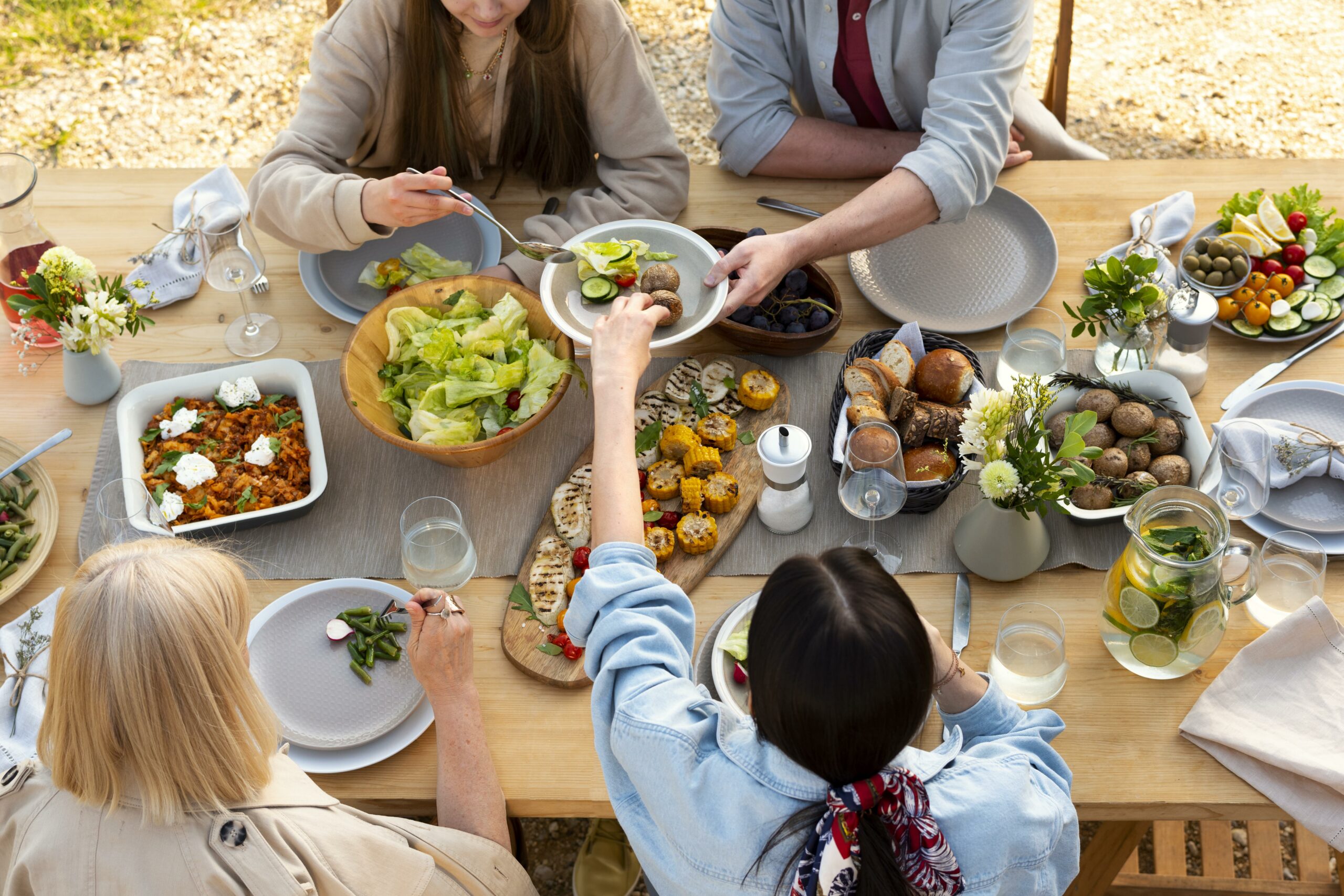
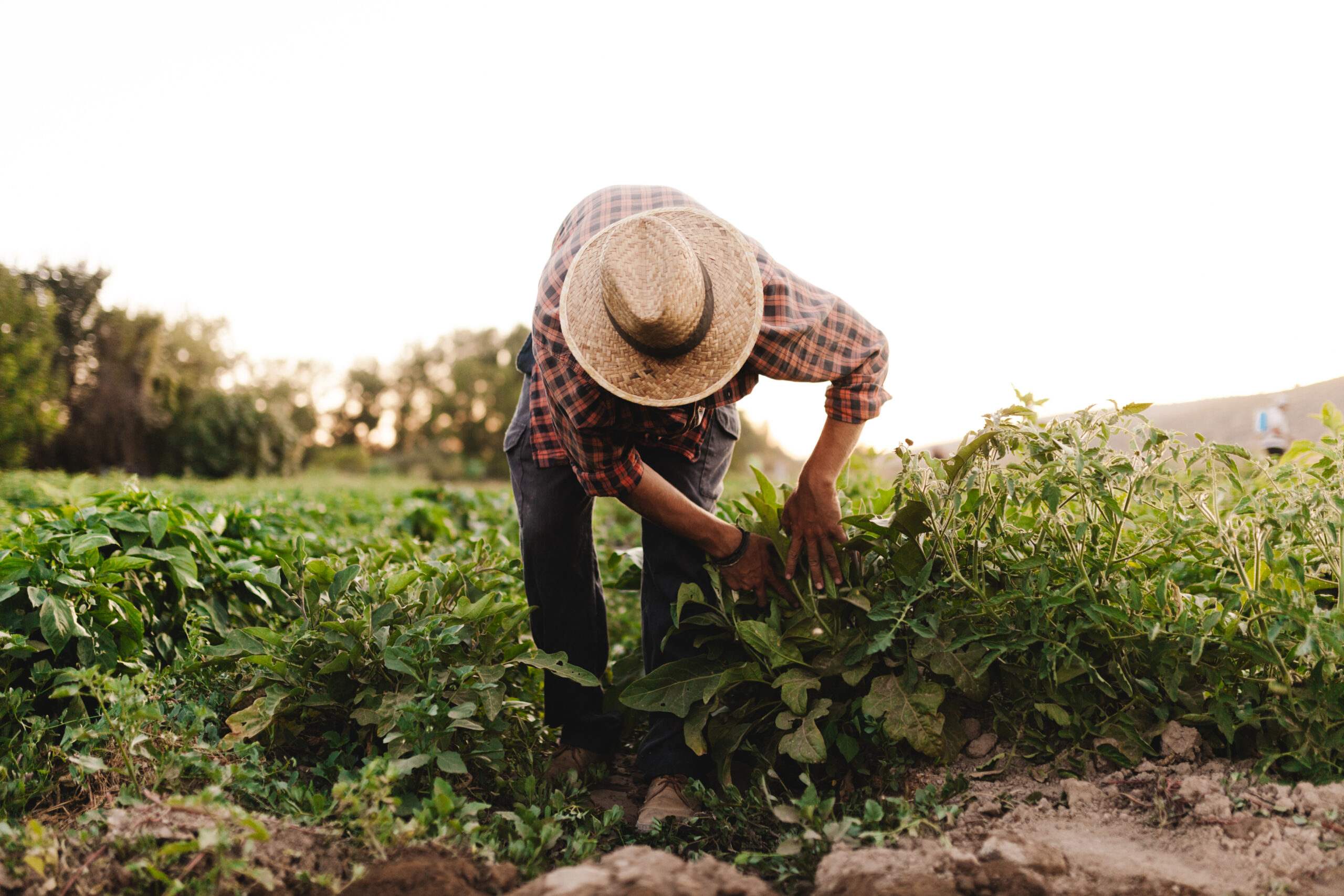
In the Mediterranean region, landscapes shaped over centuries face increasing pressures from mass tourism, intensive agriculture, and rural depopulation, threatening both biodiversity and local cultural heritage. In this context, mapping local agrobiodiversity resources is not just a technical task but a political and cultural act that empowers communities and supports sustainable development.
Within the INSPIRE project, participatory mapping is a key activity of Work Package 2 (WP2), which focuses on the documentation and valorisation of agrobiodiversity in the pilot territories. This mapping phase represents the essential first step, laying the groundwork for all subsequent actions. It enables the identification of local plant varieties, traditional foods, and cultural practices, providing a shared knowledge base that guides the co-creation of innovative biodiversity-based tourism strategies.
Through this approach, INSPIRE aims to foster territorial regeneration and promote sustainable tourism models that respect and enhance Mediterranean biodiversity and cultural identity.
But what exactly does agrobiodiversity mapping mean? And why is it so important?

What Is Agrobiodiversity and Why Does It Matter?
Agrobiodiversity refers to the variety of plant and animal species—along with associated traditional knowledge—used in agriculture and food systems. In many Mediterranean regions, these assets are deeply rooted in the land and culture, forming the basis of local identity and ecological resilience.
Yet today, agrobiodiversity is increasingly threatened by:
- The spread of monocultures and industrial farming;
- The homogenization of food systems;
- The marginalization of traditional knowledge and rural livelihoods.
Mapping is the first step in reversing this trend.

Mapping as a Tool for Awareness, Protection, and Action
In the context of INSPIRE, mapping agrobiodiversity is much more than collecting data—it is a participatory and empowering process that helps communities reclaim their relationship with the land. Through mapping, traditional crops, animal breeds, local food products, cultivation methods, and culinary practices are identified and documented. These elements are not only catalogued but actively co-produced with local communities, using interviews, workshops, and digital crowdmapping tools. This collaborative approach strengthens local knowledge systems and provides a foundation for developing sustainable tourism models that are deeply rooted in territorial identity and ecological values. Mapping becomes a tool for raising awareness, protecting biodiversity, and enabling concrete actions for local development.
Two Levels of Mapping: Local Expertise and Collective Engagement
INSPIRE’s mapping strategy works on two interconnected levels:
- In pilot areas: mapping is led by local experts using structured methodologies, combining field research and community engagement. This provides robust, validated data to support strategic planning.
- Across the broader Mediterranean: through an innovative digital platform, citizens across the Mediterranean will be invited to contribute to a participatory mapping process. By identifying and sharing local agrobiodiversity resources, even non-experts become active agents in preserving biodiversity and shaping their tourism future.
Why Mapping Matters for Sustainable Tourism
Mapping plays a critical role in making visible the often-overlooked richness of local agrobiodiversity. It allows communities and stakeholders to recognize and value what they already have, transforming these resources into the basis for authentic tourism experiences. Beyond identification, mapping supports better planning by providing accurate and place-based data that inform strategic decisions. It encourages local participation and ownership by involving residents in the storytelling and promotion of their territory. Ultimately, it inspires innovation by making space for new tourism products and services that are aligned with the environmental, cultural, and economic needs of the region. In this way, mapping is a starting point for building tourism that protects and regenerates rather than exploits.

A Digital Platform for Participatory Mapping
During the course of the project, a digital platform will be developed, combining technologies with the participatory Living Labs approach, fully aligned with the INSPIRE methodology. This platform aims to reconnect communities, biodiversity, and tourism across Mediterranean areas by supporting collaboration, knowledge exchange, and co-creation at local and transnational levels.
The platform will facilitate internal collaboration among consortium partners from various Mediterranean countries, enabling shared management of activities and continuous dialogue. It will also provide a virtual space for engagement with local and transnational stakeholders, fostering consultation and co-design of sustainable solutions for the management of territories and agrobiodiversity.
A key feature will be the support for Virtual Living Labs, which will enable public and private actors to jointly develop, test, and evaluate innovative solutions, enhancing the social innovation aspect of the project.
Moreover, the platform will include a crowdsourcing function, encouraging citizens to participate in mapping local agrobiodiversity, raising awareness, and empowering communities to protect their natural and cultural heritage.
Aligned with the INSPIRE Living Labs methodology, the platform will serve as a participatory ecosystem where people, knowledge, and technology come together to create sustainable tourism and biodiversity management strategies.
Through participatory mapping at both pilot sites and a wider Mediterranean scale, the platform will contribute to documenting local plant varieties, traditional foods, and cultural practices, fostering local pride and collective responsibility.
By bridging digital innovation with grassroots participation, the INSPIRE platform will enhance transnational cooperation and transform dispersed knowledge into practical insights, supporting biodiversity conservation and sustainable territorial development.
Mapping as a Foundation for Change
Mapping agrobiodiversity is fundamental to INSPIRE’s Theory of Change, serving as the foundation for creating more inclusive and sustainable tourism destinations. It supports stronger environmental protection and the preservation of cultural heritage, while also opening new economic opportunities in rural areas. Through this process, communities become empowered stewards of their own heritage. By beginning with mapping, INSPIRE emphasizes that transforming the future of Mediterranean tourism requires first recognizing, valuing, and caring for the richness already present in these territories.

